News

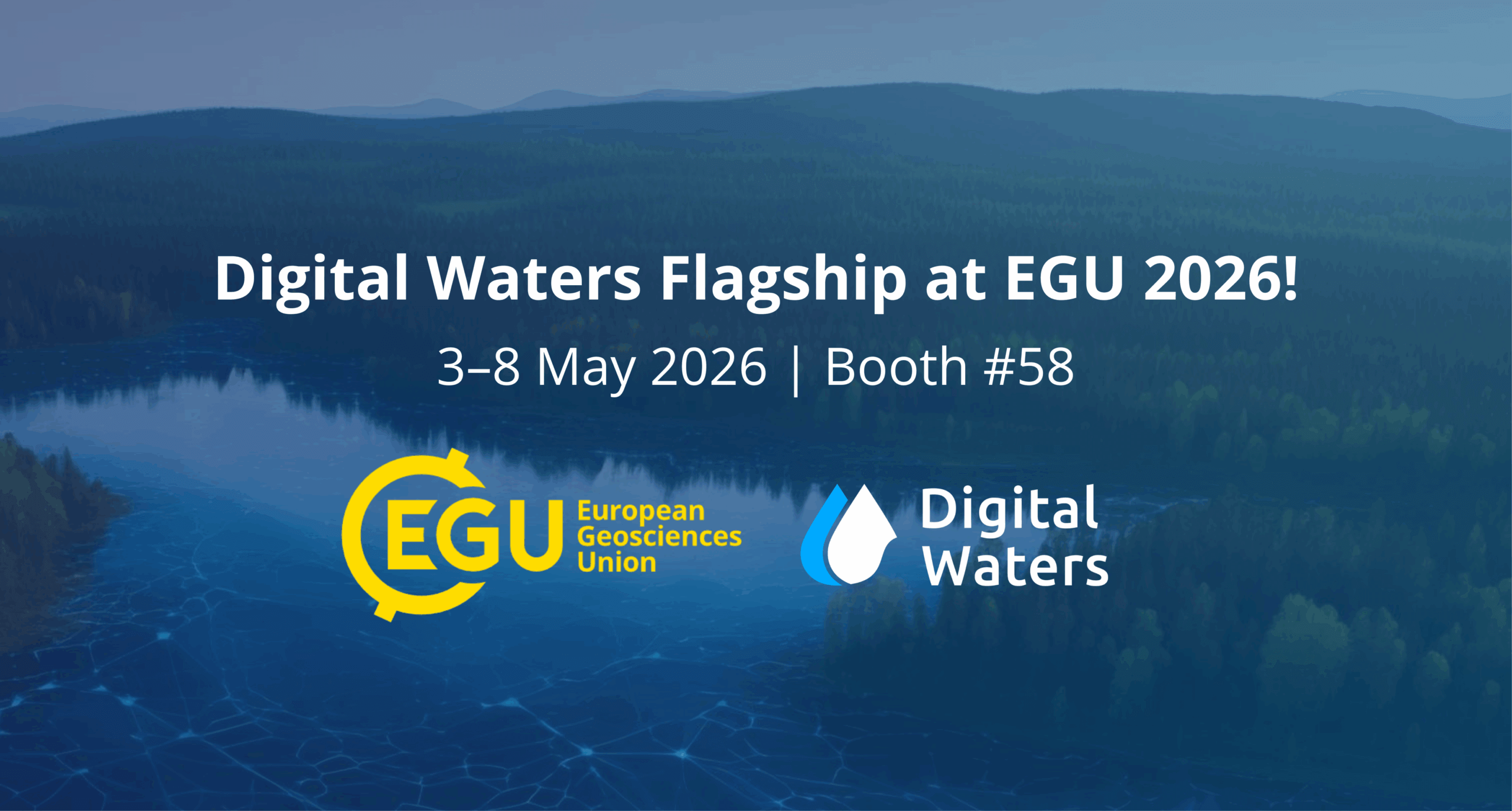
Digital Waters Flagship at the EGU General Assembly 2026: Visit our booth!

DIWA Webinaari sarja

The Digital Waters (DIWA) Flagship will be at Europe’s largest geosciences gathering, the EGU General Assembly 2026, in Vienna this spring! The Assembly runs from May 3–8, and we are excited to announce that you can find us at Booth #58 on the ground floor of the Exhibition Entrance Hall

If you’re planning to attend, be sure to stop by our booth to meet with our researchers to discuss potential collaborations, sustainable solutions for managing water resources, explore digital twins, and try out our VR demo! 

As the EGU General Assembly approaches, we will share more updates on DIWA’s scheduled sessions, presentations, and activities. Follow the Digital Waters Flagship on LinkedIn to make sure you don’t miss any of the latest news.

9.1.2026
Share the Post:

Related Posts

Water-related geospatial data and interoperability

1. Photo. Photo generated by using ComfyUI. Authors: Juha Oksanen, Elizabeth Carter, Mohammad Imangholiloo, Pyry kettunen & Ville Mäkinen Water-related geospatial data is one of the core components of hydrological models. Digital elevation models and their derivatives, including catchment areas, are critical data when modelling, for example, runoff and sediment

PhD Pilot Blog Beata Plutova

The impact of land-use and climate change on water quality in river systems

Beata Plutova, University of Turku. beplut@utu.fi Did you know? The majority of Earth’s water is salty (see Picture 1). Approximately 97% is contained in the oceans, while only 3% is freshwater. Of that 3%, most is stored in glaciers and groundwater, with less than 1% found in rivers and lakes.