Tana River
About the supersite
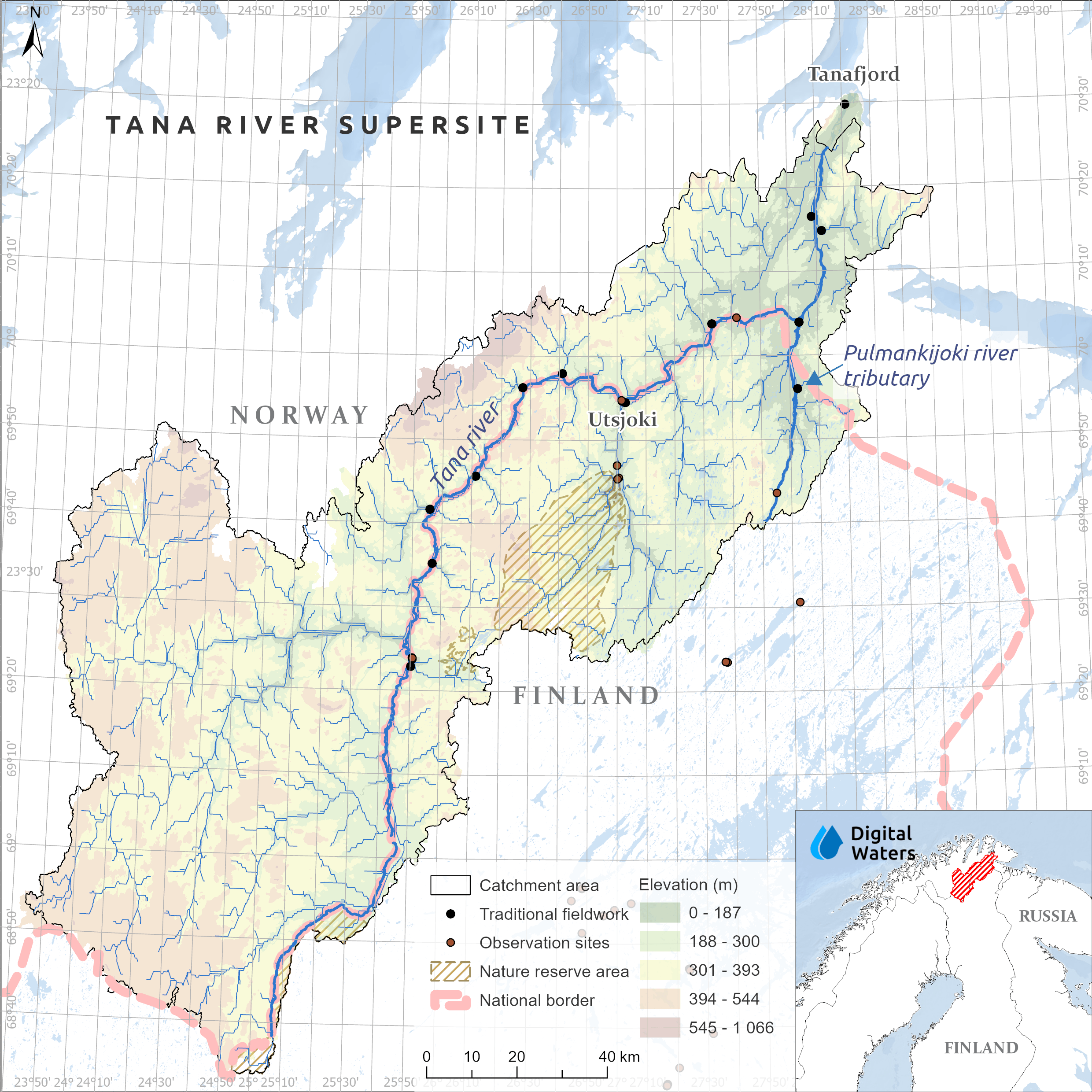
The Tana River Supersite encompasses the main channel of the Tana River, which forms part of the border between Finland and Norway, and its tributaries. The river flows through Finland and Norway before draining northwards into the Arctic Ocean.
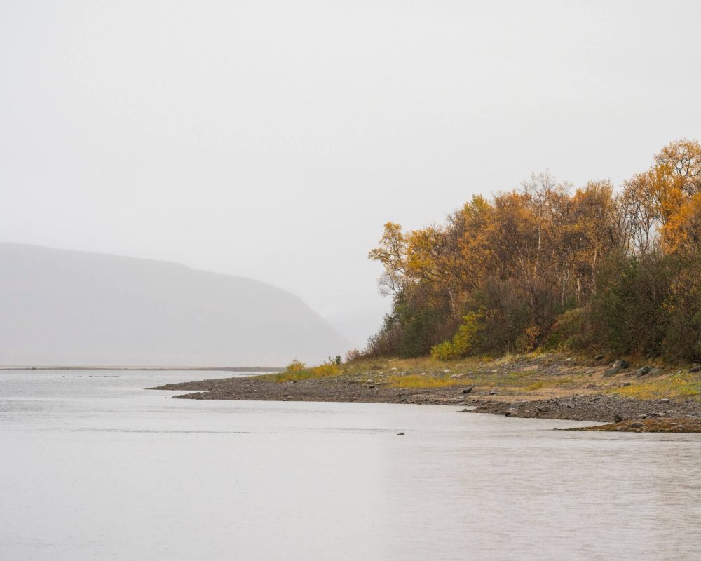
The Tana River region has a sub-Arctic climate influenced by both the Atlantic Ocean and the Asian continent. Rivers typically freeze from October to April or May, with the ice-covered period lasting around seven months. The landscape is characterised by glaciolacustrine and glaciofluvial sediments deposited during the retreat of the Fennoscandian Ice Sheet, and sub-Arctic vegetation dominated by low shrubs and alpine birch.
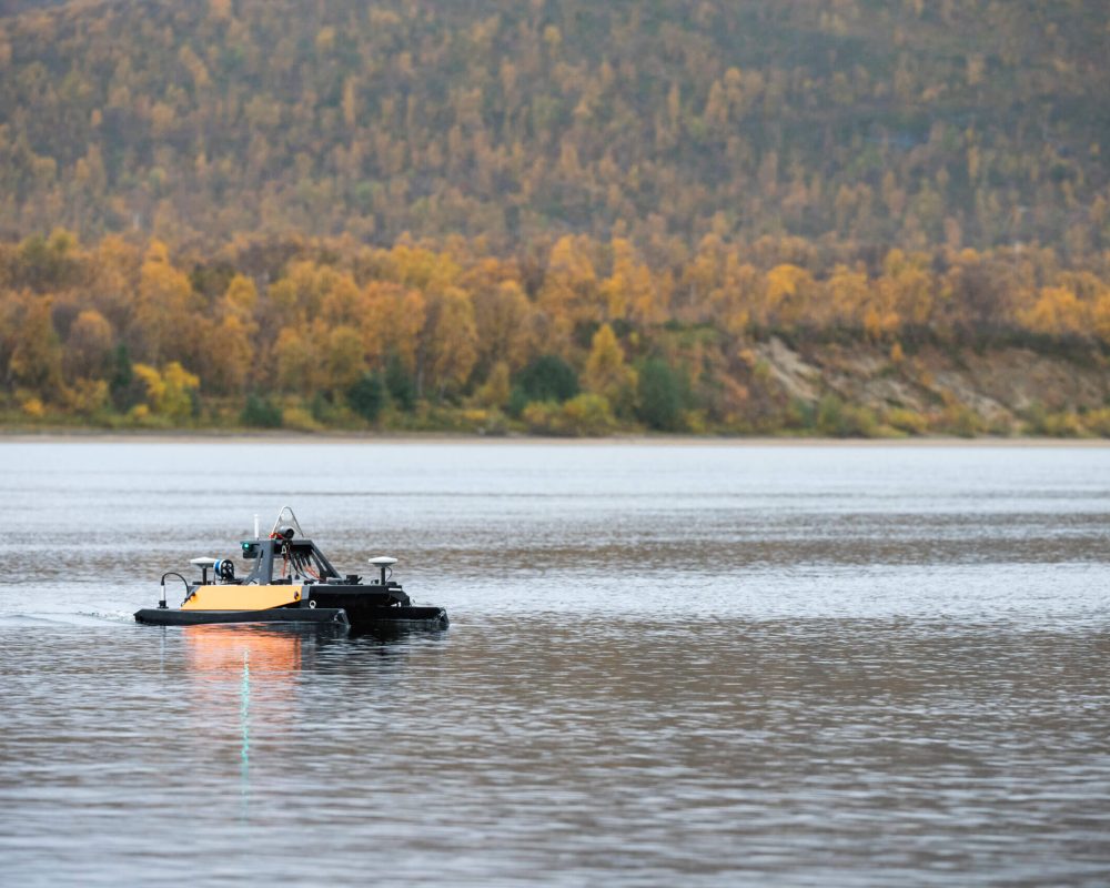
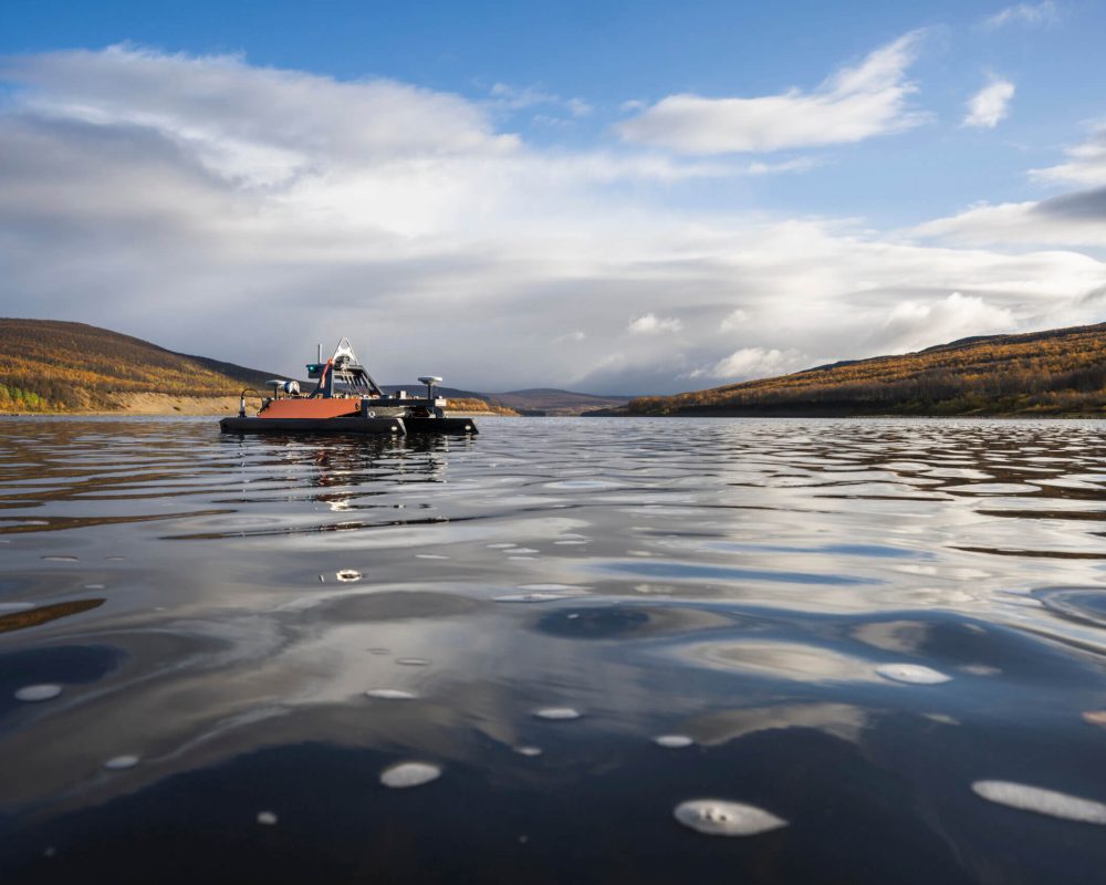
The Tana River Supersite is a long-term research area for developing and testing online sensors, autonomous measurement approaches, remote sensing methods, and techniques for detecting seasonal hydrological and river processes.
With relatively little human impact, the Tana River provides a unique natural laboratory for experimental and emerging research. Its sub-Arctic environment enables researchers to study how climate variability affects seasonal river erosion, material transport, water flow and ice processes.
Research on river processes and measurement technologies is closely connected with studies of ecosystems, habitats, tourism and local livelihoods, providing an integrated view of the river system and its changes.
Tana River Main Channel
The Tana River main channel provides a unique setting for studying Arctic river systems and their responses to environmental change. The supersite includes approximately 200 km of multispectral LiDAR data covering the main channel, providing detailed information on river morphology, habitats, and surrounding environments. Research at the site also investigates Arctic River discharge and how it may change under a changing climate.
Pulmankijoki
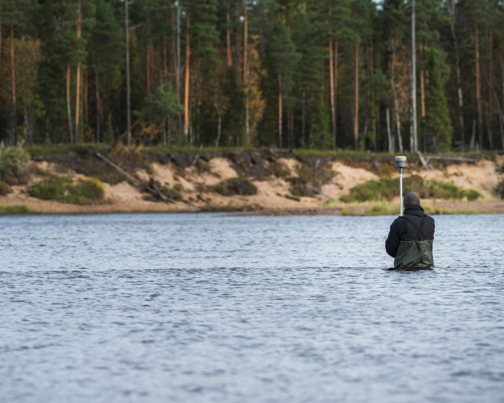
Pulmankijoki is the main long-term observation site within the supersite. Measurements have been carried out in collaboration with partner organisations during the open-water season since 2005 and, since 2014, also under ice-covered conditions.
Alaköngäs
The Alaköngäs site has been monitored for ice development since autumn 2013. During DIWA, the site also supports the development and testing of ecosystem-based modelling approaches.
Tana River tributaries
Fourteen tributaries of the Tana River are monitored during DIWA to study variations in water levels and discharge across the river system.
- Remote location
- Harsh winter conditions (with air temperatures reaching –40 °C annually)
- Frequent frazil ice events, and severe ice-breakup situations
- Polar nights (special powering solutions needed)
Research Council of Finland funded projects
- ExRIVER (Extreme and annual fluvial processes in river dynamics)
EU RFF funded projects (via Research Council of Finland)

MVTT funded projects
- The effects of changing bank erosion on river systems – study based on new measurement and modelling approaches
Maj and Tor Nessling Foundation
- Effects of extreme and annual fluvial processes in river dynamics