Authors: Hannu Marttila & Eliisa Lotsari
Edited by: Hanna Holappa
Climate change, shifting land use, and growing demands on water resources are redefining the fundamentals of water management. In northern regions, these changes are particularly rapid and complex. How can we ensure that decisions are grounded in timely, reliable information? The answer lies in digital solutions that merge a deep understanding of natural processes with cutting-edge technology.
Digital Waters (DIWA) Flagship’s one of the missions is to create catchment-specific digital twins for water resources – virtual models that integrate observational data, advanced simulations, and decision-support tools. These digital twins will enable real-time insights, scenario analyses, and risk management for sustainable water use in cities, agriculture, and Arctic environments.
A Holistic View of the Water Cycle
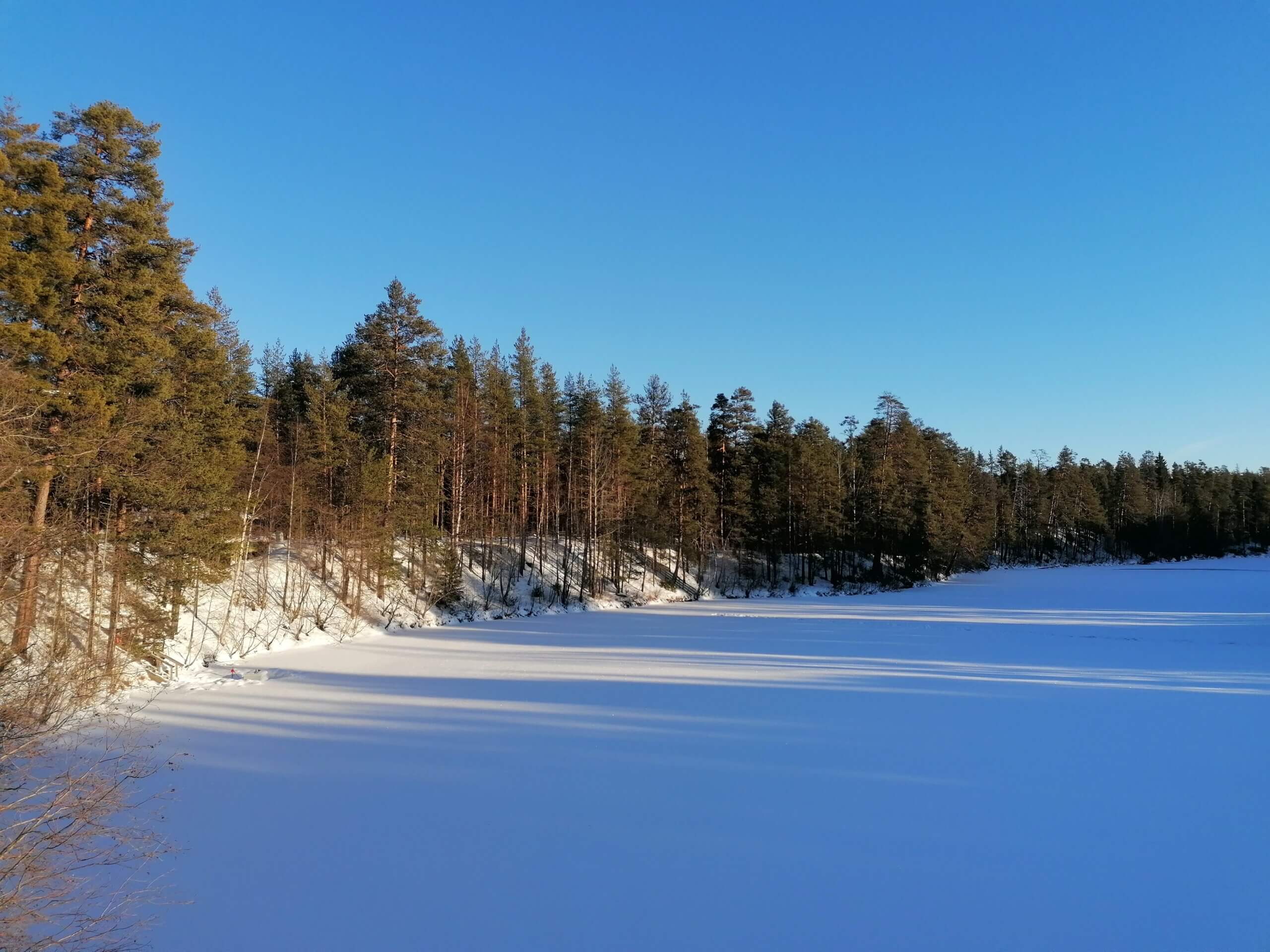
Northern landscapes face unique hydrological challenges, including snow and ice melt, extreme rainfall, droughts, and land-use changes, which all influence water availability and circulation. Understanding these processes requires a critical zone approach—examining interactions between the atmosphere, hydrosphere, and cryosphere as an interconnected system.
Water experts in the DIWA Flagship are developing next-generation hydrological monitoring systems to meet the demands of a changing climate and leverage emerging technologies. The first step is identifying gaps in current observation networks and building the foundation for new data systems and modelling solutions—paving the way for digital twins.
Supersites as Testbeds
DIWA Flagship utilises national supersite locations, which are long-term research areas across different climate zones. The supersites include locations such as Pallas-Sodankylä (sub-Arctic), Oulankajoki (boreal) and Vantaajoki (southern boreal). The supersite network serves as a test platform where continuous observational data and modelling are combined, along with their interaction between the digital twin and society. This enables an almost real-time overview of water resources and provides critical information for decision-making.
At the supersites, traditional measurements are integrated with the latest technology:
- Autonomous monitoring systems and IoT sensors collect real-time data on flow, water quality, climate, snow and soil moisture.
- 3D/4D mapping and remote sensing methods deliver precise information on river and coastal morphology, flow characteristics and environmental conditions.
- Satellite data and AI-based algorithms complement observations across large areas.
What Does a Digital Twin Mean for Water Research?
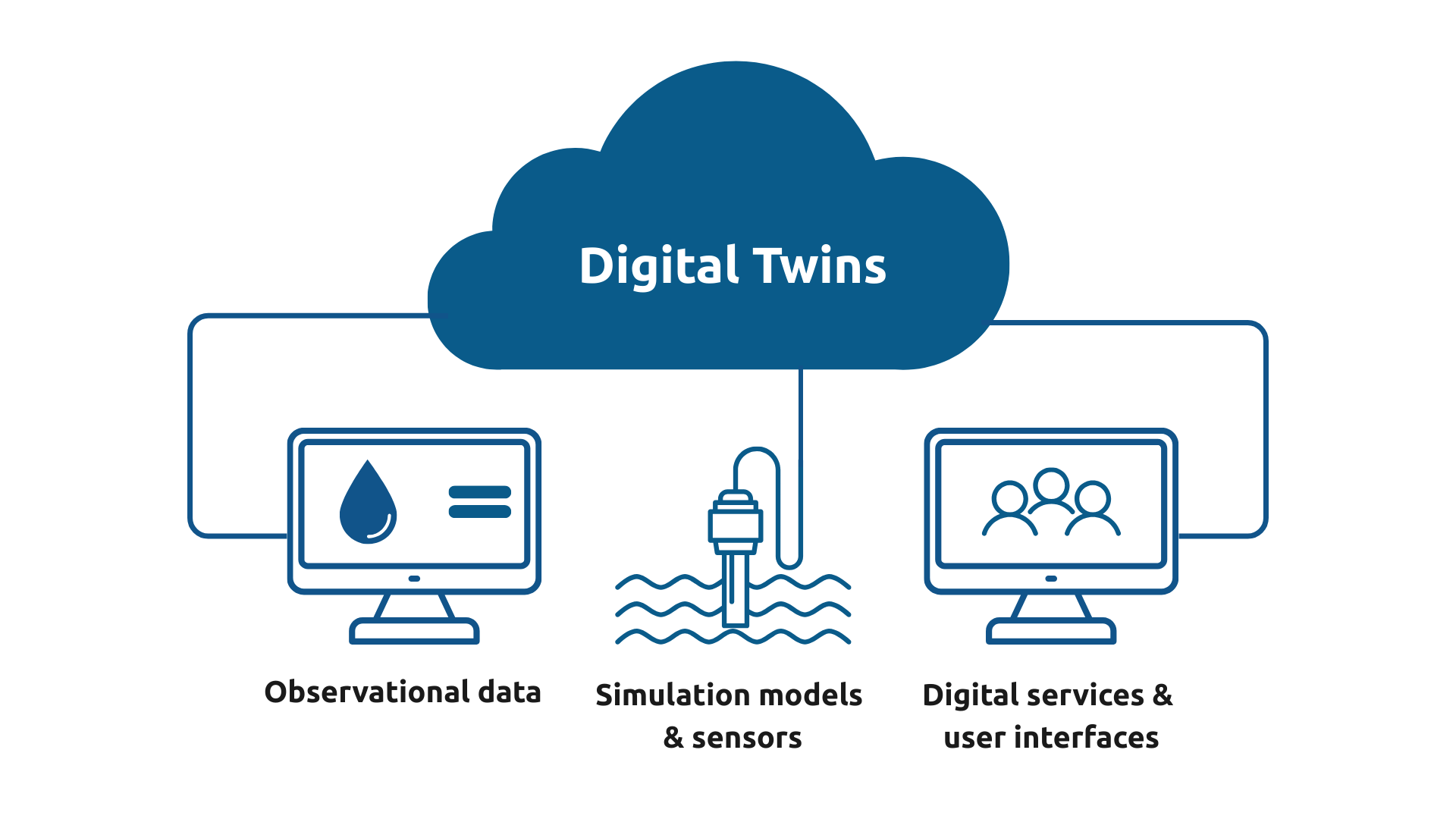
A digital twin is not just a data repository, map or model. It is an interactive digital ecosystem that combines observational data, simulation models, digital services and interfaces as well as social needs and policy objectives.
When these elements are integrated, the result is a tool that enables two-way information flow between society and catchment-specific water resource knowledge, supporting scenario analyses, risk management and sustainable water use. For example, flood risk management, drought forecasting and water quality improvement can be implemented based on knowledge and not guesswork.
DIWA Flagship’s work extends beyond technology; it represents a cultural shift in water management. The digital twin brings transparency, speed and accuracy to decision-making. It helps prepare for the impacts of climate change and supports the green transition. We invite researchers, businesses and policymakers to join this transformation. Follow DIWA Flagship’s research, join the discussion and be part of the future of digital water management.
Further information:
Pal et al. (2025): Blueprint conceptualisation for a river basin’s digital twin https://doi.org/10.2166/nh.2025.111
Marttila et al. (2022): The Nordic Hydrological Frontier in the 21st Century. Hydrology Research. https://doi.org/10.2166/nh.2022.120
8.1.2026.