Water, Energy and Environmental Engineering research unit, at the Faculty of Technology (University of Oulu) invites applications for a Postdoctoral Researcher position to join the Digital Water (DIWA) Flagship research area.
Short description of the position
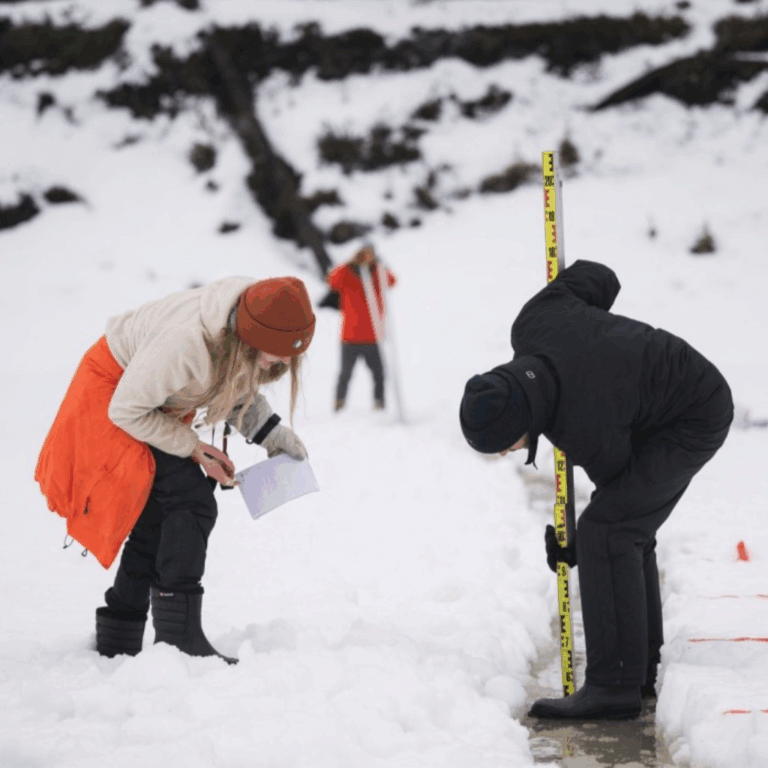
You will work in the Digital Waters (DIWA) Flagship research area, developing its research and innovation actions in collaboration with various international and national research projects and partners. The work involves the development of digital solutions with a focus on data assimilation, combining monitoring, modelling, and data management in the process of creating digital twins. You will also collaborate and assist in doctoral education and research alongside other senior staff and professors. Some teaching and supervision of graduate students may also be considered.
Key Responsibilities:
- Work in a strong team of geoscientists and programmers focused on digitalization in water resources research and management.
- Develop and manage different types of interrelated solutions for environmental monitoring, data handling, data fusion, and modeling, within a single interoperable digital platform.
- Broader project management duties including collaboration and communication with international and national partner research projects and entities.
Further information and application
Apply by March 31st, 2026 (23:59 Finnish time).
Please see the full information and how to apply on the University of Oulu’s page