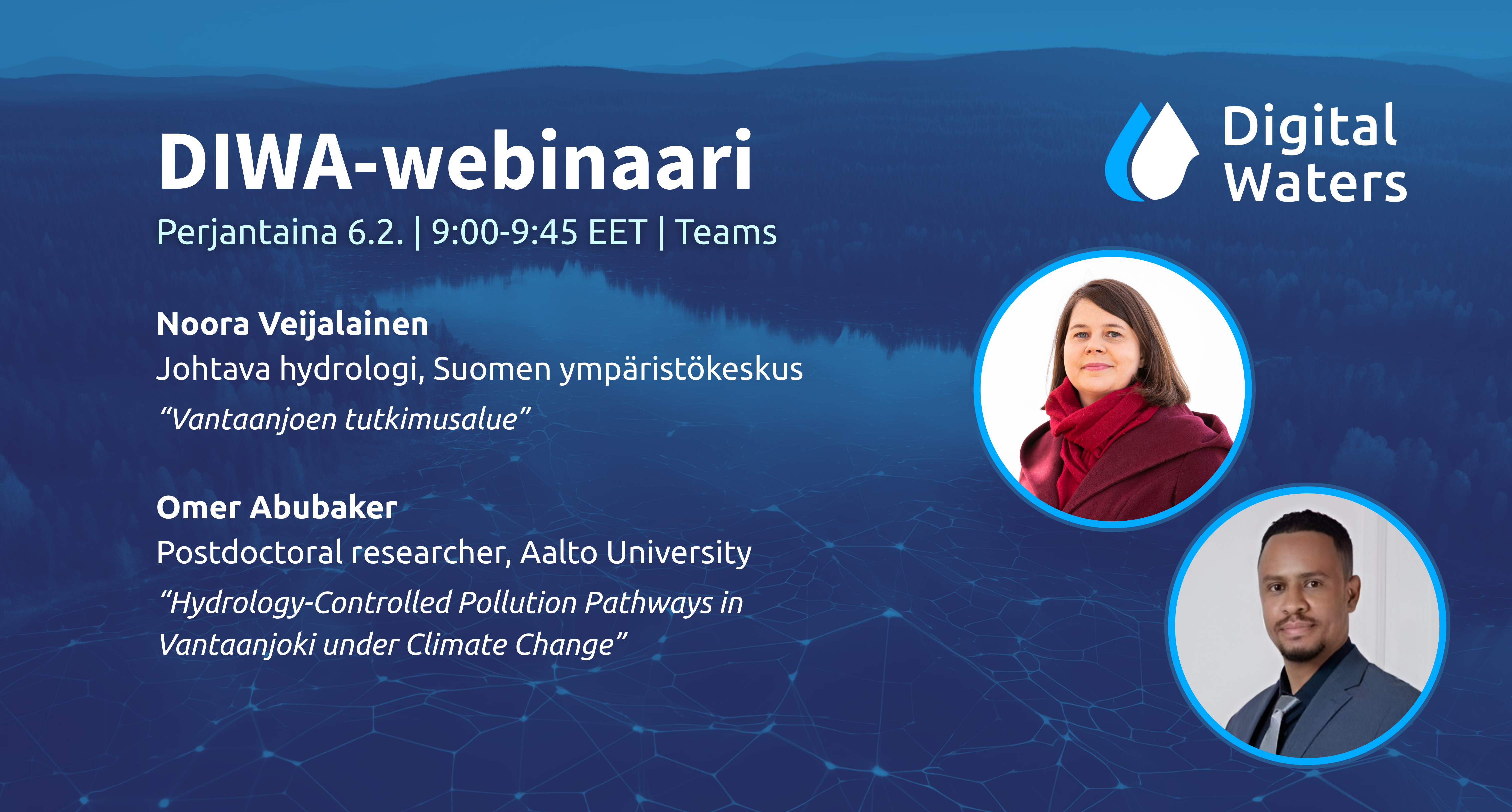
Etusivu » News » 6.2. DIWA-webinaari / DIWA webinar
Puhujien esitykset // Speakers presentations:
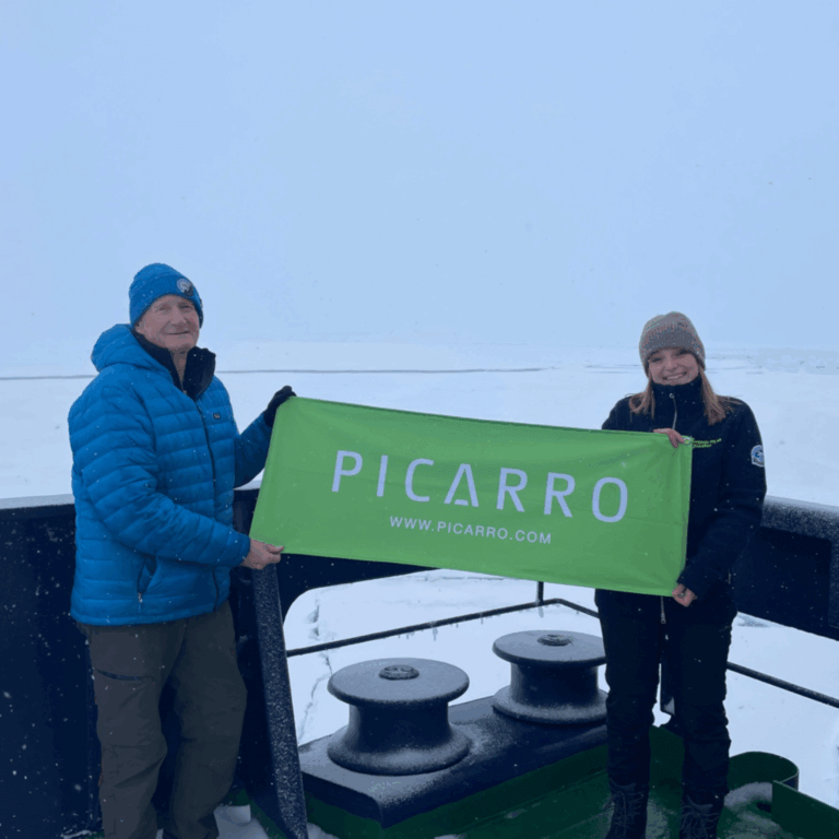
An isotope (d18O, d2H, d17O) forensic study of water mass distributions and the unique geochemistry of precipitation at the top of the planet 80oN-80oN: As part of the Swedish Ice Breaker Oden’s mission from Svalbard up and over, and back across the North Pole to study Atlandification of the Arctic
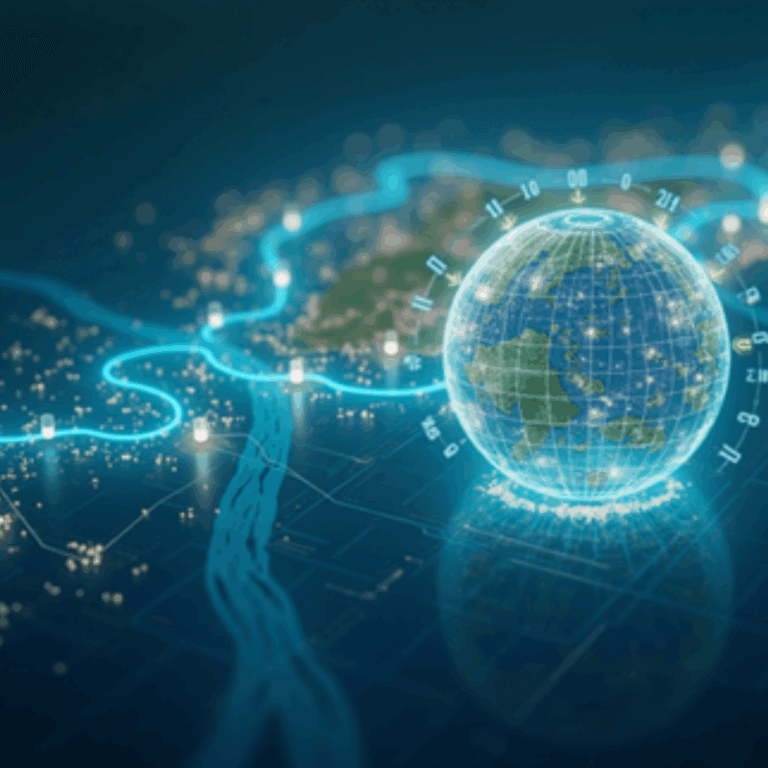
1. Photo. Photo generated by using ComfyUI. Authors: Juha Oksanen, Elizabeth Carter, Mohammad Imangholiloo, Pyry kettunen & Ville Mäkinen Water-related geospatial data is one of the core components of hydrological models. Digital elevation models and their derivatives, including catchment areas, are critical data when modelling, for example, runoff and sediment