This week, between 27–28 October, the Digital Waters Flagship team took part in Finland’s largest event for the geospatial community: GeoForum Summit 2025.
This year, the summit brought together 1,000 experts, professionals, and individuals working with geospatial data across different sectors. On both summit days, the Digital Waters Flagship team showcased the latest research equipment from our partners, the Finnish Geospatial Research Institute (FGI) and Aalto University, at the summit’s Geospatial Exhibition. Among the equipment were, for example, the unmanned surface vehicle ‘Diiwa’ featuring a unique underwater lidar, an underwater drone, and a large drone equipped with a bathymetric green wavelength laser scanner.

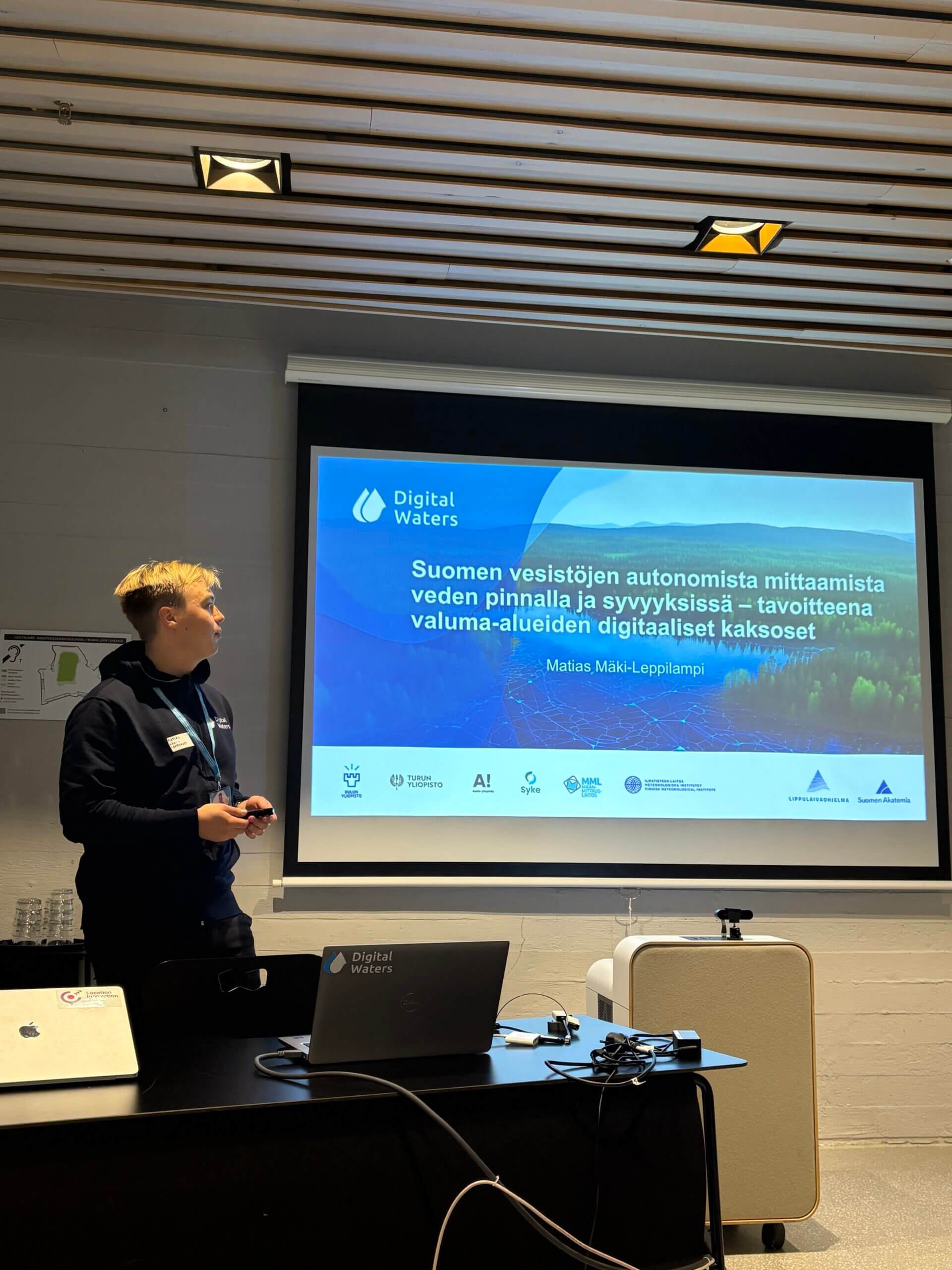
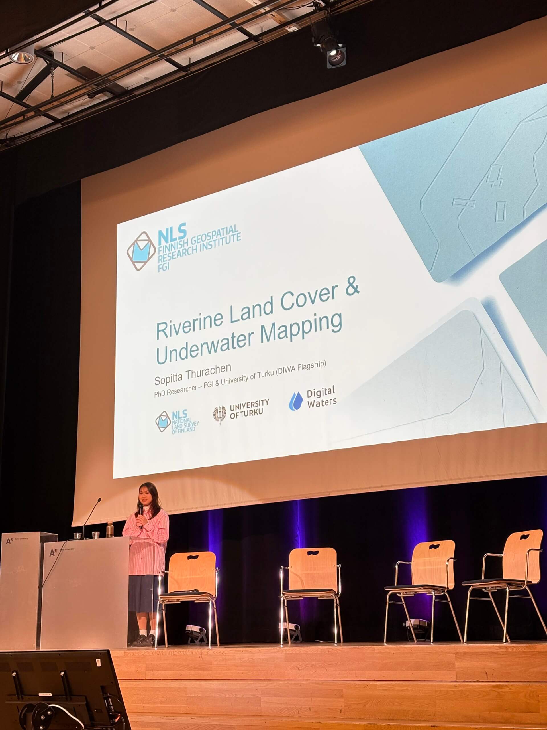
DIWA PhD Pilot researcher Sopitta Thurachen took part in a discussion on how artificial intelligence and location data solutions are changing the world. Researcher Matias Mäki-Leppilampi hosted a spotlight session introducing the different unmanned sensor systems used to study Finland’s freshwater bodies.
The Digital Waters team conveys its gratitude to all who visited the booth and thanks for the interesting discussions at the seminar stage and other summit events!
24.10.2025.